Fast, Precise, Easy-to-Use – Everything you always wanted in a survey design package.
Precision Design & Modeling
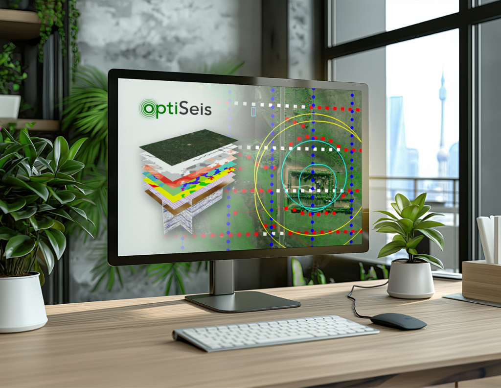
Design custom survey layouts and perform modeling tasks faster than you’ve ever experienced. Rapidly assess multiple options for all your targets: subsurface, surface, and ESG. Specialized tools allow unparalleled analysis options to ensure your design results in optimal data quality and efficient field operations.
Services
Rapid custom survey layouts, sophisticated movement and analysis tools
Intuitive and flexible modeling with optimal station prediction
Modularized solutions for survey design, comparison, layout, modeling, field optimization and QC
Have a Project?
If you have a project and you’d like to see if we are a fit this is how you can contact us. Someone will get back to you within 2 business days.